LS Engenharia Geográfica

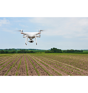
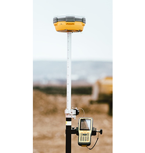
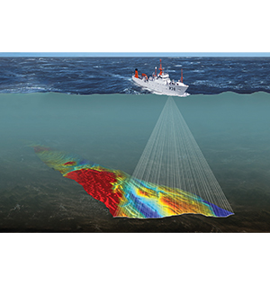
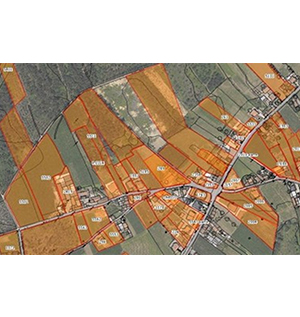
LS Engenharia is a company in the geomatics sector, made up of qualified professionals certified by FIG and OHI, specializing in the acquisition and editing of geospatial information and production of cartography for commercial/industrial purposes, using the most varied technologies for this purpose. and methodologies, such as: ● Acquisition of topographic information using autonomous flying vehicles (UAV), global positioning systems (GNSS), optical instruments (total stations and levels) or aerial images; ● Photogrammetric techniques for producing Digital Terrain Models, using aerial photography or satellite images; ● Spatial analysis using specific software; ● Hydrographic surveys using acoustic sounders.

Products and services 5

Other

Remote Sensing

Remote sensors are distinguished according to the type of information that is captured, with electromagnetic waves being particularly interesting in the study of various phenomena, as electromagnetic radiation reflected or emitted by the Earth is captured by sensors on aerial or orbital platforms. and translated into multispectral images.

Other

Geodesy

Geodesy’s main purpose is the study of the shape and dimensions of the Earth, as well as the determination of the gravitational field and its temporal variation. To carry out this type of measurements, fundamental geodesy instruments are used (theodolite and high precision levels) or modern space geodesy techniques (GNSS positioning systems).

Other

Hydrography

Hydrographic Surveys (LH) comprise a set of operations conducted in rivers, bars, coastal and port areas, to determine depths, in accordance with international recommendations (S-44).

Other

Geographic Information Systems (GIS)

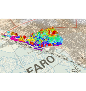
Geographic Information Systems (GIS) are defined as an automated system used to process, store, analyze and manipulate geographic data, providing all the resources an organization needs to take advantage of this data and efficiently visualize the information through maps.

Other

Topography / Land Registry

The collection of data necessary to prepare a plan or topographic map of a given portion of the earth’s surface is called topographic survey. Currently, the performance of this discipline is vast compared to the techniques and methodologies it employs, including support for civil construction in the context of large engineering works: bridges, dams, railway lines and mines, among others.

Looking for a supplier in the Algarve?

Contact the companies directly, or write to NERA — the Algarve business association — and we will put you in touch.

Write to NERA nera@nera.pt · 289 415 151 (Call to a Portuguese landline)